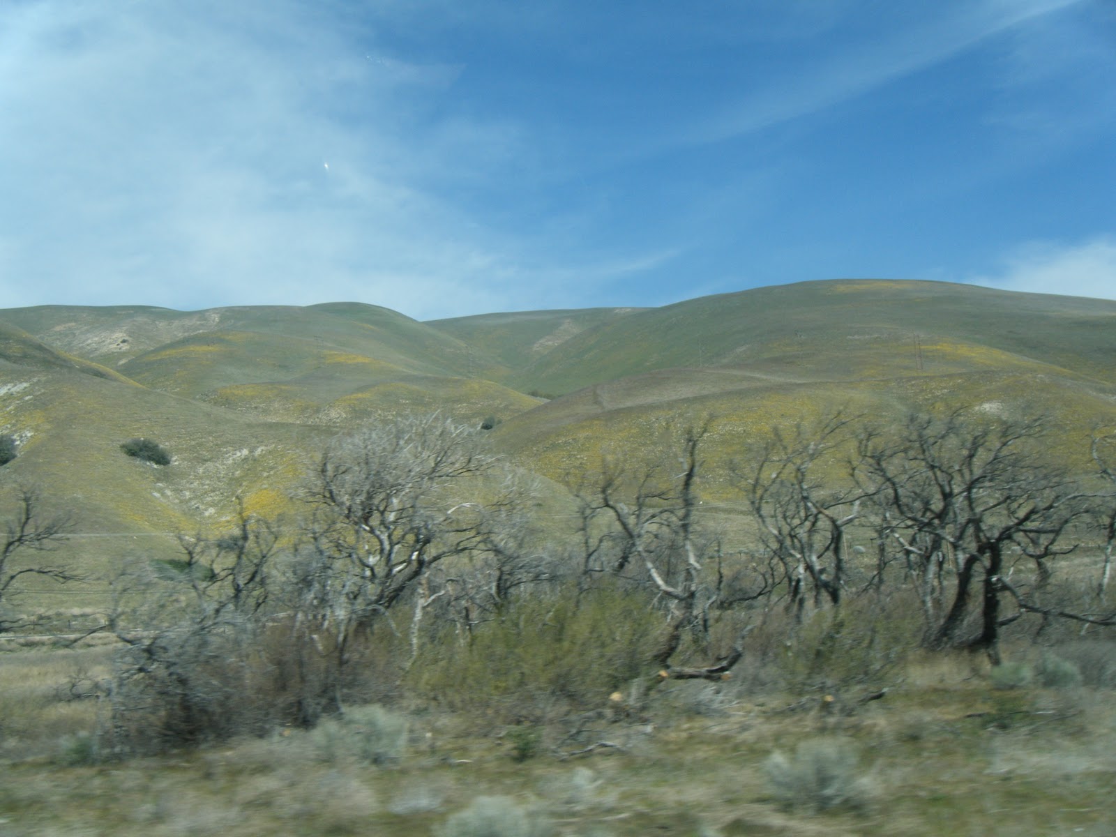
We left Corona with a 68 degrees and a bit of fog in the distance. We had no trouble leaving the park and going on I 15. We were traveling along when suddenly we saw all kinds of red brake lights in front of us. We were about 3 1/2 miles from our exit to Interstate 210. We had 4 lanes of standing traffic. It took us 1 hour and 45 minutes to reach our exit. We had to go from 4 lanes to 1 lane. The roads on 15 were very good, but when we got on 210 we were bouncing all the way. It was a very rough road and it even had big chuck holes in it. We also traveled thru some mountains which were green or brown and some had beautiful yellow color because of the blooming flowers.
Then when we got on route 5 we thought I210 was smooth because this road was even worse. It had high roads and low roads. At on point we traveled for 6 miles on a 6% grade. We were definitely traveling at a fairly good rate of speed when we got to the bottom and then we broke out into San Joaquin Valley just north of Bakersfield. We were seeing vineyards, orchards that were blooming and small vegetables like tomatoes, onions and cabbage. The farmers were working the ground for more crops but we could not tell what they would be. They use drip or flooding irrigation in the area.
When we got to our park we were 2 hours later than what we expected this morning.
Mountains with the yellow flowers
Starting the downward travel out of the mountains.
Entering the San Joaquin Valley
Just one of the Holstein dairy farms. There were a few more before we reached Tulare.
One of the many orchards and vineyards we passed on 99
More adventures on Monday.


No comments:
Post a Comment